 |
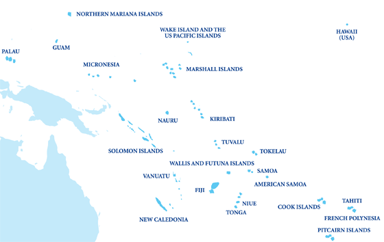
| Figure 1: Western Pacific Islands |
While average global sea level measured from tidal gauges since 1950 pointed to an increase of around 1.7 mm/year, my previous blog highlighted two important factors that need consideration (Church and White 2006). Firstly, new satellite altimeter readings have found that this rate is closer to 3.3 mm/year for the period since 1993 (Ablain et al. 2006). In addition to this, sea level is not uniform around the world meaning global averages hide extreme rises (and falls). A further issue is that of timescale as measurements can be obscured by annual or even seasonal fluctuations. Satellite altimeter measurements of the western tropical Pacific region have shown an increase of about 3 or 4 times the global average between 1993 and 2010 but this must be taken with caution due to the relatively short time period examined (Becker et al. 2012).
Becker et al. (2012) and Church et al. (2006) have both investigated changes in sea level in the Pacific Island region which meant overcoming problematic data sets and using a number of different types of measurement data, as well as removing factors that caused short-term fluctuations. While tidal gauge records go back much further in time than satellite observations, they contain gaps and also lack the accuracy of satellite records as they are fixed to the seabed thus relying on it not rising or sinking. To counter this effect, GPS data was used to account for vertical land movement making way for sea level change reconstructions to be formed. This found that ‘ground subsidence increases the [total] climate-related sea level rise by about 10%’ (Becker et al. 2012: 97).
 | |
|
A further consideration that I have touched upon is that of seasonal or annual variation. This is especially relevant for the Pacific as it is this region that is heavily influenced by El Niño-Southern Oscillation (ENSO) events. This is because La Niña causes a tilting of the thermocline which results in water piling up in the tropical western Pacific while El Niño reduces this tilt meaning water levels out over the Pacific (Church et al. 2006). Consequently, during La Niña, sea levels around Tuvalu rise and in an El Niño phase they fall. The magnitude of sea level variability due to ENSO events was found to be around 20-30 cm above or below average levels in the Tuvalu region (Becker et al. 2012). They therefore have an enormous impact on inter-annual variability as it results in between 40-60 times the annual sea level rise here.
References
Ablain, M., A. Cazenave, G. Valladeau and S.
Guinehut (2009) ‘A new assessment of the error budget of global mean sea level
rate estimated by satellite altimetry over 1993–2008’, Ocean Science, 5,
193-201.
Becker, M., B. Meyssignac, C. Letetrel, W. Llovel, A. Cazenave and
T. Delcroix (2012) ‘Sea level variations at
tropical Pacific islands since 1950’, Global and Planetary Change,
80–81, 85–98.
Church, J. A. and N. J. White (2006) ‘A 20th
century acceleration in global sea-level rise’, Geophysical Research Letters,
33.
Church, J. A., N. J. White and J. R. Hunter (2006) ‘Sea-level rise
at tropical Pacific and Indian Ocean
islands’, Global and Planetary Change, 53, 155–168.
Nicholls, R. J. and A. Cazenave (2010) ‘Sea-level rise and its
impact on coastal zones’, Science, 328, 5985, 1517-1520.
Nicholls, R. J., P. P. Wong, V. R.
Burkett, J. O. Codignotto, J. E. Hay, R. F. McLean, S. Ragoonaden and C. D.
Woodroffe (2007) ‘Coastal systems and low-lying areas’, Climate
Change 2007: impacts, adaptation and vulnerability. Fourth Assessment Report of
the Intergovernmental Panel on Climate Change, 315–356.
No comments:
Post a Comment